It is called ‘One Belt, One Road’, abbreviated to the acronym ‘Obor’ or ‘Bri’, the Chinese project of a Silk Road in a contemporary key destined to connect Asia to Europe and Africa.
But above all to put modern China at the center of trade and consequently redesigning the global economic and geopolitical balance.
Table of Contents
What is the Chinese New Silk Road
It is a network of infrastructural, maritime and land connections based on two main routes. A continental one, from the western part of China to Northern Europe through Central Asia and the Middle East.
And another maritime one between the coasts of the Dragon and the Mediterranean, also passing through the Indian Ocean.
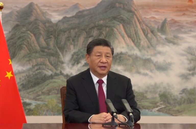
The plan, announced in 2013 by Chinese President Xi Jinping and explained by Prime Minister Li Keqiang during several trips to Europe and Asia, aims to involve 65 countries representing approximately 65% of the world population and 40% of GDP.
The costs of the New Silk Road
Its construction would cost at least 900 billion dollars, an enormous sum that not even the Chinese giant can manage alone.
In 2014, Beijing launched the Silk Road Fund (China Investment Corporation-Export and Import Bank-China Development Bank), a 40 billion fund aimed at attracting foreign investments.
Another 100 billion dollars would come from the Asian Infrastructure Investment Bank (AIIB), a development bank in which various European countries participate. A network that could now easily expand and make possible one of the largest infrastructure investments ever.
New Silk Road, the main routes
In detail, land and rail connections would travel along three main routes. The first goes from Europe through Kazakhstan, Russia and Poland towards the Baltic Sea.
The second substantially follows the line of the Trans-Siberian Railway, while the last, further south, would pass through the Persian Gulf, touching Islamabad, Tehran and Istanbul.
However, there are two maritime routes. The first would start from the Chinese port of Fuzhou and cross the Indian Ocean and the Red Sea, touching Africa and arriving in Europe, involving the north-eastern ports of Italy.
The second, again from Fuzhou, would head towards the Pacific islands. All this would then pave the way for gas and oil pipelines. The entire map of global economic flows could be redrawn, albeit over a period of decades.
Read also: Global trade passes through “choke points”: what they are and why they are essential in geopolitics
The six pillars
Describing the BRI in detail is almost impossible. As far as we can see, Beijing does not do much to ensure the transparency of the initiative – starting with the official website for the initiative, which is much more “marketing” than informative.
In summary, the Belt and Road Initiative would see six major trade corridors unfold from China:
- the one with Pakistan (CPEC);
- what passes for India, Bangladesh and Myanmar (Bcimec);
- what unites Iran, Kazakhstan, Kyrgyzstan, Tajikistan, Turkey, Turkmenistan and Uzbekistan (Cwaec);
- the one involving Cambodia, Laos, Malaysia, Thailand, Myanmar and Vietnam (Cicpec);
- the one that connects Beijing with Russia and Mongolia (Cmrec);
- the one that guarantees outlets in Europe (Nelb).
Read also: Why China is building in Africa, and which assets and states it is investing most in